

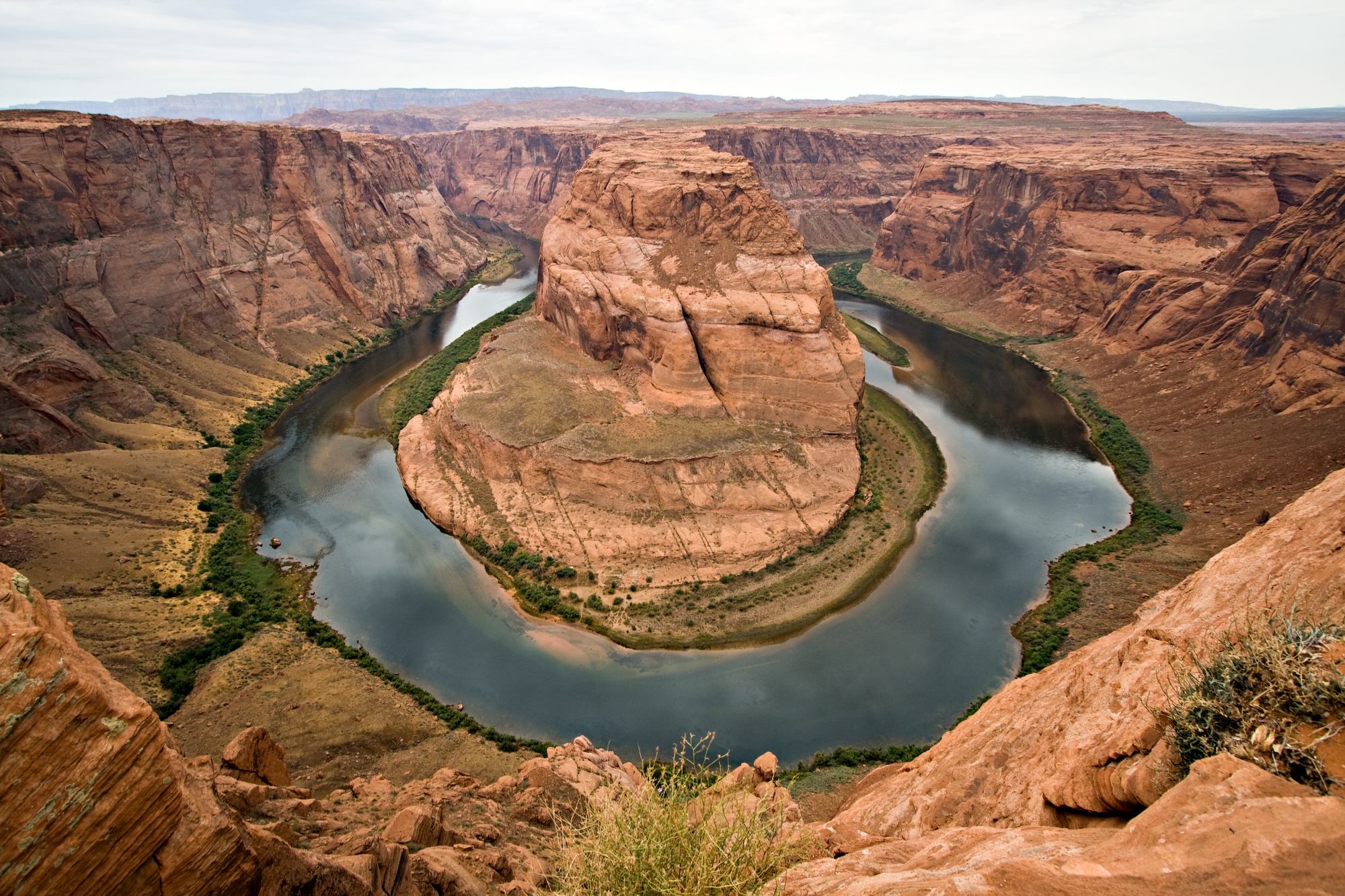
Horseshoe Bend is the name for a horseshoe-shaped meander of the Colorado River located near the town of Page, Arizona, in the United States. It is located 5 miles (8.0 km) downstream from the Glen Canyon Dam and Lake Powell within Glen Canyon National Recreation Area, about 4 miles (6.4 km) southwest of Page. Accessible via a ½-mile (0.8 km) hike from U.S. Route 89, it can be viewed from the steep cliff above. According to Google terrain maps, the overlook is 4,200 feet (1,300 m) above sea level and the Colorado River is at 3,200 feet (980 m) above sea level making it a 1,000 feet (300 m) drop.The Horseshoe Bend parking lot is located 4 miles south of the Glen Canyon dam on the west side. The hiking sign is small and easy to miss, but the parking lot is easy to see from the road. Hike west 3/4 of the mile over loose sand and Navajo sandstone and you will be at the edge.
Source
pic and info